Grand Teton National Park - Full pack FSX & P3D


{niceaccess:12}
The Grand Teton National Park, Grand Teton National Park or in English, is a U.S. National Park located northwest of the State of Wyoming, United States of America.
Covering an area of 1254 km2, the park is famous for its mountain scenery dominated by the Grand Teton, which culminates at 4197 meters altitude. Its rocks, older than two billion years, are among the oldest on the planet.
Beautiful HD photo-real scenery made with quality, ideal for VFR.
The installation is 100% automated by Rikoooo, the configurator will handle for you the registration and activation of the scenery in Flight Simulator. When uninstalling, the installer will restore your configuration of origin.
Caution large file 418 Mo, it is strongly recommended to use a download accelerator software to pause and resume at the point of arrest to have no surprises (eg FlashGet).
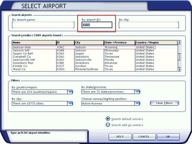
Important, how to use the scenery ? You can start your flight from Jackson Hole airport (type KJAC)
The Grand Teton National Park, Grand Teton National Park or in English, is a U.S. National Park located northwest of the State of Wyoming, United States of America.
Covering an area of 1254 km2, the park is famous for its mountain scenery dominated by the Grand Teton, which culminates at 4197 meters altitude. Its rocks, older than two billion years, are among the oldest on the planet.
Beautiful HD photo-real scenery made with quality, ideal for VFR.
The installation is 100% automated by Rikoooo, the configurator will handle for you the registration and activation of the scenery in Flight Simulator. When uninstalling, the installer will restore your configuration of origin.
Caution large file 418 Mo, it is strongly recommended to use a download accelerator software to pause and resume at the point of arrest to have no surprises (eg FlashGet).
Important, how to use the scenery ? You can start your flight from Jackson Hole airport (type KJAC)
 LOADING ...
 FILE INFORMATION
- Rating
Size 420 MB
Downloads 19 732
License Freeware

Auto-install Installer Scenery v11
-
{file_title_riko} is compatible with Prepar3D v1 et FSX-Steam ainsi que FSX (toutes versions)
Author : {author_data}
- No virus guaranteed by

{module 542}
{niceaccess:13}

